The weather system is being strengthened by a network of atmospheric features, including cyclonic circulations over northwest Uttar Pradesh, east Uttar Pradesh and northwest Bihar, as well as a trough stretching from Punjab to Gangetic West Bengal.
Similar squally conditions are expected over parts of Uttar Pradesh on June 11.
Photo: WindyHailstorms are likely at isolated locations across Haryana, Delhi, Himachal Pradesh, Uttarakhand, Jammu and Kashmir and western Uttar Pradesh on June 11 and 12.
Punjab and eastern Uttar Pradesh could also witness hailstorm activity on June 11.
Dust storms are another concern, particularly across Rajasthan and Uttar Pradesh.
A powerful western disturbance is set to trigger a spell of widespread rain, thunderstorms, hailstorms and squally winds across large parts of north India over the coming days, bringing relief from the intense summer heat but also raising the risk of weather-related disruptions.
According to the India Meteorological Department (IMD), a fresh western disturbance moving across the western Himalayas, coupled with multiple cyclonic circulations and troughs extending from northwest India to the Bay of Bengal, is expected to influence weather conditions across the region until at least June 16.
Read Full Story
A trough is an elongated region of low atmospheric pressure that promotes rising air, cloud formation, and often leads to rain, thunderstorms, and unsettled weather.
The most intense phase of the wet spell is likely between June 11 and June 13, when thunderstorms accompanied by gusty winds of 50-60 kmph and hailstorms are expected over several states.
The weather system is being strengthened by a network of atmospheric features, including cyclonic circulations over northwest Uttar Pradesh, east Uttar Pradesh and northwest Bihar, as well as a trough stretching from Punjab to Gangetic West Bengal.
The western disturbance itself is currently positioned as a trough in the middle tropospheric levels over areas north of latitude 32°N, helping funnel moisture and instability into the northern plains and Himalayan region.
Heavy rainfall activity is expected over the western Himalayan states. Jammu and Kashmir, Ladakh, Gilgit-Baltistan and Muzaffarabad are likely to receive fairly widespread to widespread rainfall on June 11 and 12, while Himachal Pradesh could witness widespread showers from June 11 to June 13. Uttarakhand is also expected to see significant rainfall during the same period.
The plains of northwest India are also likely to be affected. Delhi, Haryana, Punjab, east Rajasthan and western Uttar Pradesh are forecast to receive scattered rainfall between June 10 and June 16, with the strongest weather activity likely on June 11 and 12.
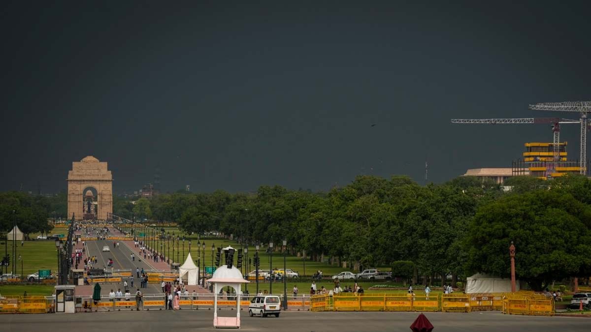
Meteorologists have warned of thundersqualls with wind speeds reaching 60-70 kmph and gusting up to 80 kmph over Haryana, Delhi, Punjab, east Rajasthan and west Rajasthan during June 11-12. Similar squally conditions are expected over parts of Uttar Pradesh on June 11. Photo: Windy
Hailstorms are likely at isolated locations across Haryana, Delhi, Himachal Pradesh, Uttarakhand, Jammu and Kashmir and western Uttar Pradesh on June 11 and 12. Punjab and eastern Uttar Pradesh could also witness hailstorm activity on June 11.
Dust storms are another concern, particularly across Rajasthan and Uttar Pradesh. West Rajasthan is expected to experience dust storm activity from June 11 to June 13, while east Rajasthan and parts of Uttar Pradesh may witness dust-laden winds on June 11 and 12.
The approaching weather system is expected to bring a noticeable drop in daytime temperatures across much of north India, where heatwave-like conditions have persisted in recent weeks.
advertisement
However, authorities have advised residents to remain alert as strong winds, lightning strikes, hail and localised flooding could disrupt transport, damage crops and affect power infrastructure.
Weather experts are closely monitoring the evolution of the western disturbance, which is shaping up to be one of the most significant pre-monsoon weather events to affect north India this month.
- Ends