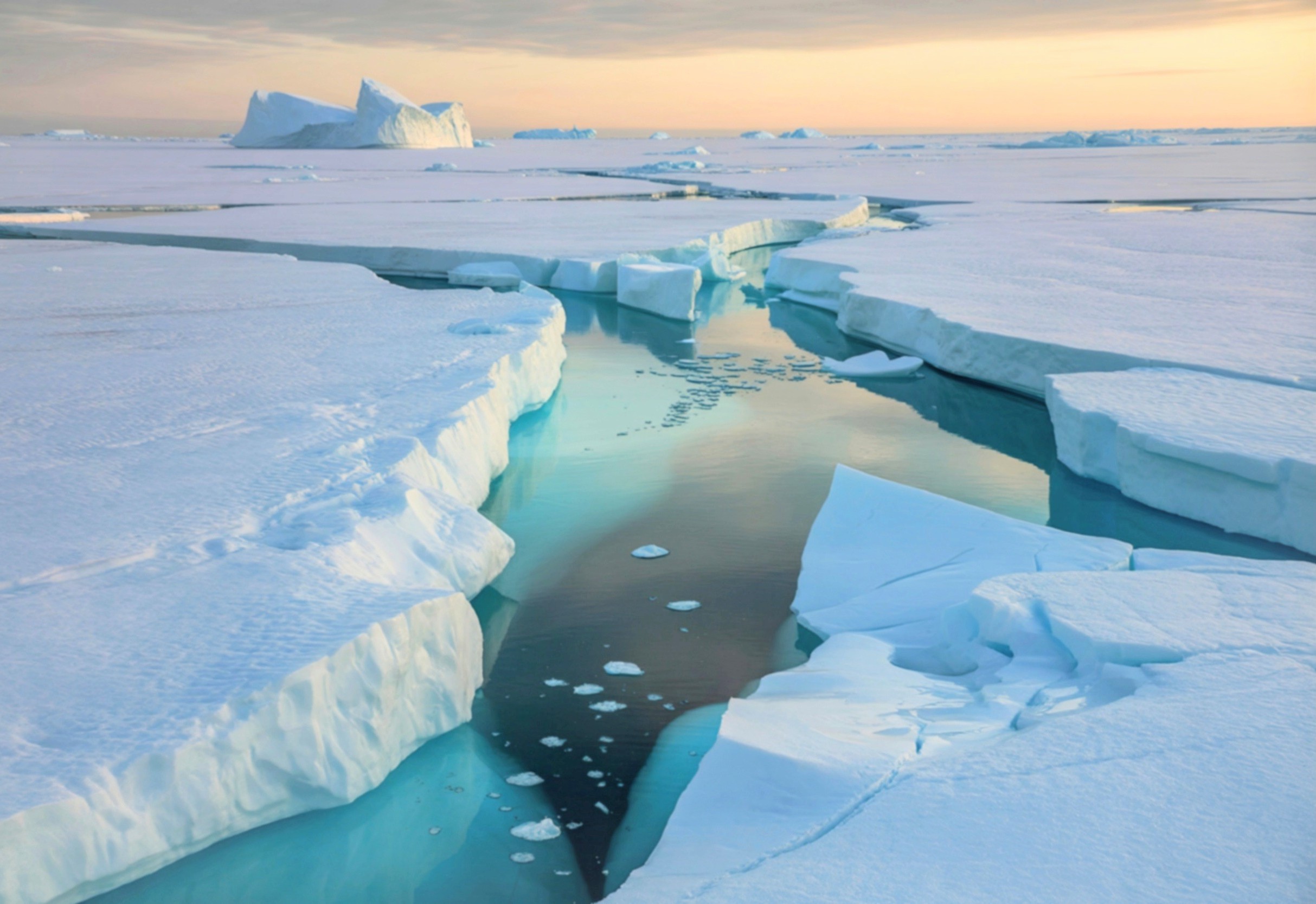
Then, around 34 million years ago, something flipped a switch, and glaciers began forming over East Antarctica.
“The initiation, growth, and stabilization of the East Antarctic Ice Sheet is a very important problem that I don’t think is well understood,” he said.
“About 50 million years ago, we had a major change in the highlands because of the uplift,” Gernon said.
That led the team to wonder whether their model could also explain how the ice sheet first formed.
Their findings lend some support to Gernon’s modeling, though deep drilling into the ice-covered rock below would offer a far clearer picture of East Antarctica’s ice sheet history.
Hundreds of millions of years ago, Antarctica looked nothing like the frozen continent we know today. It was warm, humid, and covered in thriving plant and animal life.
Then, around 34 million years ago, something flipped a switch, and glaciers began forming over East Antarctica.
New research traces that switch back to a tectonic event that happened far earlier and, oddly enough, to a coincidental resemblance between two continents on opposite sides of the planet.
The study was led by Thomas Gernon, an Earth scientist at the University of Southampton.
What started Antarctica’s great freeze?
Exactly how the East Antarctic Ice Sheet got its start has puzzled scientists for a long time, including John Goodge, a geologist at the University of Minnesota Duluth who studies Antarctica’s past.
“The initiation, growth, and stabilization of the East Antarctic Ice Sheet is a very important problem that I don’t think is well understood,” he said.
The new study offers an explanation rooted not in climate alone, but in geology. It points to land uplift triggered by rifting during the Jurassic period, roughly 201 to 143 million years ago.
This event eventually created a high-elevation site perfectly primed for glacier formation tens of millions of years later.
“About 50 million years ago, we had a major change in the highlands because of the uplift,” Gernon said. “It’s really quite cool – we could be seeing this threshold whereby the interior of Antarctica became way more susceptible to forming an ice sheet.”
Africa helped connect the dots
Gernon didn’t set out to solve Antarctica’s ice sheet mystery at all. He was originally curious whether Antarctica’s geologic history matched that of southern Africa.
In a 2024 study published in Nature, he and his colleagues had shown that southern Africa’s dramatic escarpments and high plateaus were shaped by mantle waves.
These are disturbances triggered by tectonic rifting during the breakup of the Gondwana supercontinent in the Jurassic.
Such waves spread beneath continents from rifting zones and, over millions of years, can strip material away from the base of the lithosphere, allowing the remaining rock above to rise.
“When you have bits of the continent falling off, you get a surface response – you get uplift, [erosion], and in the case of [southern] Africa, you get this anomalously high elevation,” Gernon said.
Since Antarctica once bordered what is now southern Africa within Gondwana, Gernon wondered whether the same mantle wave process might have shaped it too. He bought a paper map of Antarctic topography just to check.
Antarctica looked strangely like Africa
What he saw stopped him. A stretch of Antarctic coastline called Queen Maud Land showed a steep escarpment rising toward a large, elevated plateau.
That plateau eventually connects to the Gamburtsev Subglacial Mountains, a hidden range long suspected to be where the East Antarctic Ice Sheet first took hold.
“I could not believe what I saw,” Gernon said. “I thought, ‘It looks just like Africa.'”
The landscape-shaping processes at work on both continents, it turned out, appeared to be strikingly similar, both driven by rifting and the same mantle wave mechanism.
Building on that hunch, Gernon and his team created a computer simulation of Gondwana’s breakup.
The model showed how mantle waves could have reshaped East Antarctica’s topography over tens of millions of years. The simulated landscape came out remarkably close to Antarctica’s actual terrain.
“By virtue of just having the same process as in Africa, we could generate a topography which is actually really close to the topography that we observe in East Antarctica,” Gernon said.
Rising mountains set the stage
The modeled uplift centered directly on the Gamburtsev Subglacial Mountains, long considered the ice sheet’s likely birthplace.
That led the team to wonder whether their model could also explain how the ice sheet first formed.
To test that idea, they built two additional models. The first tested how sensitive ice formation was to East Antarctica’s changing topography.
The second incorporated the broader topographic and climatic changes believed to have occurred across the continent’s past.
Both models pointed to the same conclusion. The uplift of the Gamburtsev Subglacial Mountains made the region increasingly sensitive to temperature changes and far more likely to accumulate ice.
Once the mountains reached sufficient height, snow and ice could build up year-round between the peaks, triggering a feedback loop that cooled Antarctica further still.
The modeling suggests this process may have begun as early as 40 million years ago, earlier than most scientists currently believe the ice sheet started forming.
Antarctica’s ice got a head start
The findings also help explain a long-standing puzzle: why Antarctica developed glaciers well before the Arctic did, even though both poles experienced the same global cooling trend.
“The answer, we think, is because Antarctica was uplifting and generating very large, [high] areas,” Gernon said, giving ice sheet formation a head start the Arctic simply didn’t have.
Goodge, who reviewed the new findings, found the argument persuasive.
“The paper makes a very compelling case that it is this tectonic response,” he said.
“Building over some period of tens of millions of years, that leads to a threshold situation where this high-elevation terrain reaches a critical elevation where it can permanently allow ice to form.”
Answers remain beneath the ice
Directly testing the model would mean analyzing the lithosphere beneath the Gamburtsev Subglacial Mountains. Such data are notoriously hard to gather because the range sits buried under thick ice.
In a 2022 study published in Nature Communications, Goodge and a colleague examined glacial debris likely originating from the Gamburtsev range.
Their findings lend some support to Gernon’s modeling, though deep drilling into the ice-covered rock below would offer a far clearer picture of East Antarctica’s ice sheet history.
With that kind of drilling and continued international scientific support, “we’d be able to learn a great deal more,” Gernon concluded.
The study is published in the journal Science.
—-
Like what you read? Subscribe to our newsletter for engaging articles, exclusive content, and the latest updates.
Check us out on EarthSnap, a free app brought to you by Eric Ralls and Earth.com.
——