El Niño is back, and it is going to be a big one.
“If El Niño persists into early 2027, India may face an enhanced risk of an unusually warm pre-monsoon season and heatwaves.
In 1997, the positive IOD was the strongest of the 20th century, first documented in a 1999 Nature paper.
WMO's outlook for September–November 2026 does forecast a positive IOD, with a seasonal average of +0.9°C.
That is India's best natural cushion against a Pacific El Niño.
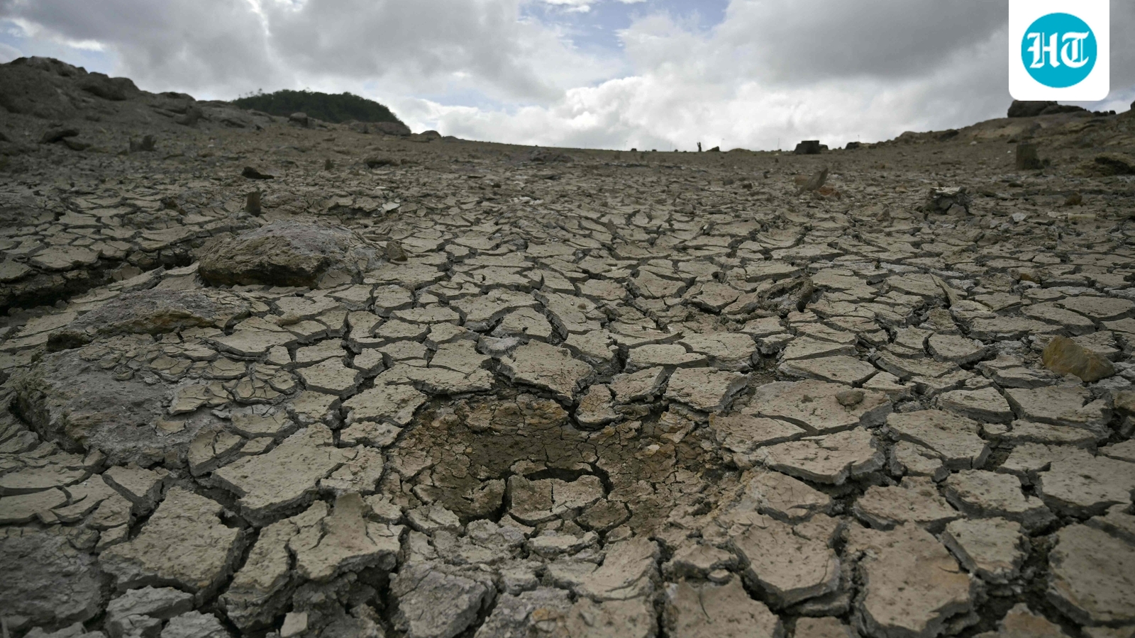
El Niño is back, and it is going to be a big one. The World Meteorological Organization (WMO) said on Thursday that the Pacific climate pattern has firmly set in, will strengthen into a "very strong" event by the end of 2026, and has a near-100% chance of lasting through February 2027. WMO said its language on the event was the most emphatic in the 50-year history of its updates, and the climate ripple effects will run into 2027. The Niño 3.4 index has climbed to 2.2°C-2.6°C above normal, signalling a strengthening El Nino in the tropical Pacific. (AFP/ Representational image)
For India, the immediate hit may be modest, but trouble will likely follow over a more longer term – at least until next spring.
Mahesh Palawat, vice-president at Skymet, said the withdrawing monsoon will probably escape the worst of it, but the months ahead will not. "It can alter rainfall distribution and raise temperatures. Its immediate impact on the withdrawing southwest monsoon may be limited, but it could influence the northeast monsoon and increase the possibility of a warmer-than-normal winter," he told HT.
“If El Niño persists into early 2027, India may face an enhanced risk of an unusually warm pre-monsoon season and heatwaves. However, El Niño alone does not determine India's weather; the Indian Ocean Dipole, snow cover, local sea temperatures and other atmospheric factors will also shape the eventual impact.”
Anjal Prakash, an IPCC author and professor of public policy at FLAME University, called the WMO warning "a red flag for India." "With August already 16% rain-deficient and September forecast below-normal, the event threatens kharif yields, water security and rural incomes, while pushing temperatures to record highs. For policymakers, this is also a macro-economic and food-security risk. We need immediate drought-proofing in vulnerable districts, flexible crop advisories, and pre-positioned relief," he told HT, referring to rain data for the just concluded month.
The Indian record over the last six decades bears out both the caution and the caveat, according to analyses accessed by HT. Every drought India has suffered in the last three and a half decades has come in an El Niño year, according to a 2014 working paper by economists at the Indian Council for Research on International Economic Relations (ICRIER). But, the paper stated, only about 11 of 23 El Niño years since the 1950s have actually produced Indian droughts. Balaji Rajagopalan of the University of Colorado Boulder, whose 1999 paper in the journal Science remains a standard reference on the link, put it simply: Indian droughts “have all coincided with El Niño, but not all El Niños have produced droughts.”
The single biggest reason for that gap is the IOD Palawat pointed to — and the last two very strong El Niños show it clearly.
Also read: As super El Nino strengthens, study suggests that climate change is intensifying El Ninos
Why the strongest El Niño of the century failed to dry India out The two most recent very strong events show how differently the same pattern can play out. In 1997, the standard Pacific temperature gauge — the Niño 3.4 index — peaked at about +2.3°C, the highest reading of the 20th century, per NOAA. In 2015, it climbed higher, to about +2.6°C. And yet the 1997 monsoon came in near normal. The 2015 monsoon collapsed to 86% of the long-term average — the worst deficit in six years. In Marathwada, Maharashtra, the numbers were catastrophic: the region ended the season 40% short, saw just 28 mm of rain in July against a normal near 200 mm, and its kharif pulses crop was cut by more than half, according to a Current Science paper.
The 2015 damage was also compounded by 2014, itself a deficient monsoon at 88% of the long-period average — the first back-to-back deficient years in decades, meaning soils and reservoirs were already stretched thin when the second failure arrived.
What separated 2015 and 1997 the two years was the Indian Ocean Dipole (IOD) — the phenomenon Palawat flagged. Think of it as a see-saw of sea-surface temperatures across the Indian Ocean: warm in the west, cool in the east marks a "positive" phase, and that phase channels more moisture into India. In 1997, the positive IOD was the strongest of the 20th century, first documented in a 1999 Nature paper. In 2015, it was neutral to negative. Later work by experts at the Indian Institute of Tropical Meteorology (IITM), Pune, showed a strong positive IOD can dampen, or even entirely cancel out, the El Niño signal over India.
WMO's outlook for September–November 2026 does forecast a positive IOD, with a seasonal average of +0.9°C. That is India's best natural cushion against a Pacific El Niño. But it is also no guarantee.